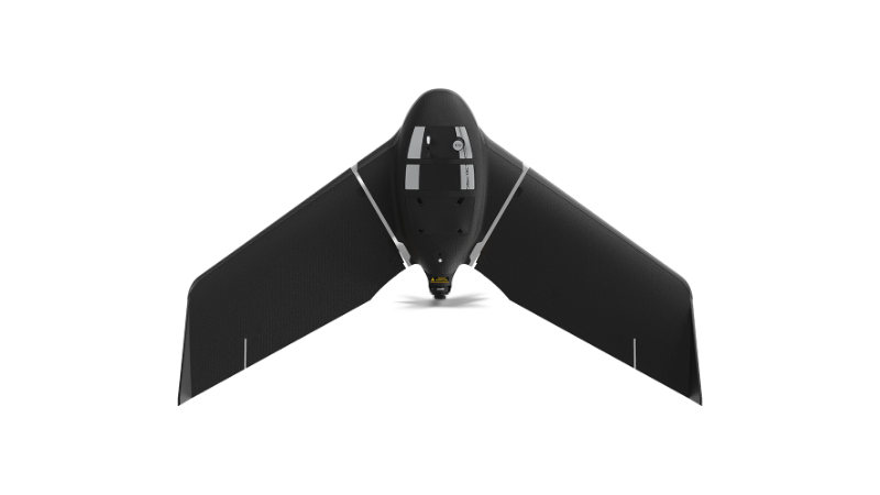
eBee Tac Public Safety
A specialized version of the eBee Tac tailored for public safety missions like disaster response and situational awareness.
Learn MoreBlock: hero
UAV INDUSTRY SOLUTIONS
Block: features
Block: content_tabs
UAVs quickly provide rescue operators access to aerial data over large areas, giving teams the ability to expedite search efforts for mission people. Fixed-wing UAVs for example, have the ability to map sites up to 2.6X faster than a typical quadcopter and can map remote sites within a 5X larger flight radius.
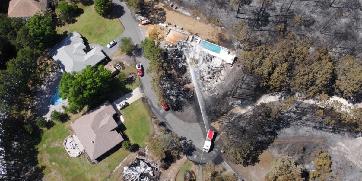
Aerial data and 3D digital terrain models provide detailed information emergency responders use to monitor active wildfires, flooding and other threats to neighboring communities. Powerful multispectral sensors provide the ability to easily threshold vegetation for monitoring and management of trees and dense vegetation within power line encroachment areas.
eBee fixed-wing UAVs can be used for rapid field deployment following hurricanes, floods, tornados and wildfires to conduct fast damage assessments delivering real-time situational awareness for first responders on the scene. This data can later be used to maintain a library of high-risk areas for before and after comparisons.
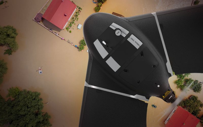
SRT teams can use portable UAVs such as the eBee TAC that are designed for tactical deployment in disconnected environments and thermal payloads which allow agents to monitor and detect targets quickly across a variety of terrain.
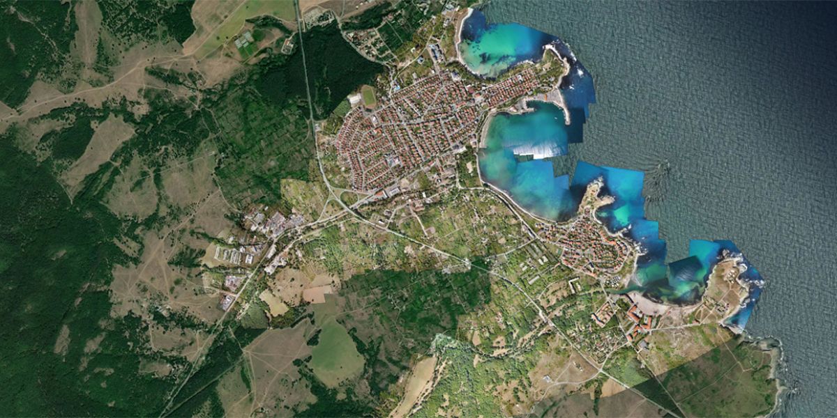
Current cadastral maps collected by drones provide city planners and engineers visibility of key buildings, utilities and transportation infrastructure that may be impacted following a severe weather event. Due to aerodynamic advantages, fixed-wing UAVs such as the eBee X can map corridors up to 3X longer than a typical quadcopter.

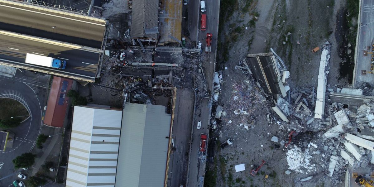
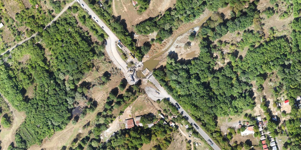
Following an accident, the accuracy of the scene must be preserved. UAVs reduce the time required to photograph large areas while delivering highly-accurate scene reconstructions.
Block: content_tabs
UAV-based aerial imagery helps public safety teams save time, allocate resources and see the big picture as the scene unfolds.
UAV mapping accelerates scene documentation and takes a fraction of the time compared to traditional methods. Precise georeferenced photogrammetry outputs such as 3D models allow investigators to revisit a scene and share evidence at any time from anywhere.
For urban fires and wildfires, interactive before/after maps can be compared with satellite imagery to reassign teams on location, and provide a better understanding of the path of fire and damage to property. Near real-time situational awareness allows emergency teams to better allocate resources where they’re needed – and reassign them when they’re not.
Autonomous mapping software to fly grid patterns help ensure complete coverage within a search area to locate missing or injured subjects. Measure Ground Control in real-time projects the area collected and mapped to show the overlap.
Block: grid_links
Block: flexible_cards
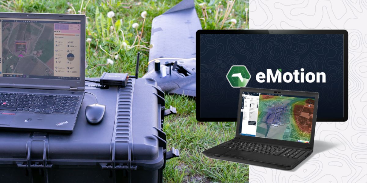
eMotion software is a leading drone software solution for flight planning, geotagging and photo stitching. From here the imagery can be exported for further processing in Pix4D and other software.

PIX4Dreact, PIX4Dmatic and PIX4Dcloud are popular photogrammetry solutions for generating rapid-stitch orthomosaic maps in the field for emergency teams and first responders.

Measure Ground Control can be used to manage a drone fleet, as well as to process multispectral imagery from MicaSense sensors. Emergency teams can use Measure to project the area mapped in real-time to ensure complete coverage and documentation.
Block: related_products
A specialized version of the eBee Tac tailored for public safety missions like disaster response and situational awareness.
Learn More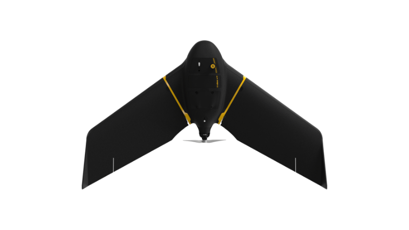
A high-performance, fixed-wing professional mapping drone designed for large-area aerial surveying and automated data capture.
Learn MoreBlock: relevant_resources